![]()
Microwave Radio
Terrain Diffraction Modeling
II. Model Used
III. Testing / Results
IV. References
1. Introduction
Wireless networks, especially cell phone networks, are appearing everywhere as the demand rises for connectivity in remote areas. With the spawning of these networks, it is important for the wireless provider to know exactly how their signal will propagate through complex terrain. Knowing this information helps the provider to deliver the best service possible to the customers. While this economically benefits the wireless provider, it simultaneously provides the customers, and therefore society, the benefit of being able to roam further into more remote areas of the globe while still being able to keep in contact using their cellular devices.
2. History
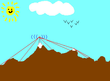
Traditionally, wireless providers have simulated received signal levels on terrain maps by simply computing a path loss exponent for the terrain. This may offer a decent measure of accuracy. However, as wireless providers desire more and more accurate models, diffraction models would ideally be used to provide more accurate models than ever. These models would calculate what kinds of "shadows" would be cast by the radio when it hits the edges of some complex terrain.
3. Problem
The problem at hand was to come up with an accurate model for microwave radio using terrain diffraction. This should be the most accurate model because it takes into consideration more than just a simple path loss.